
Council Houses, Stewarts Green
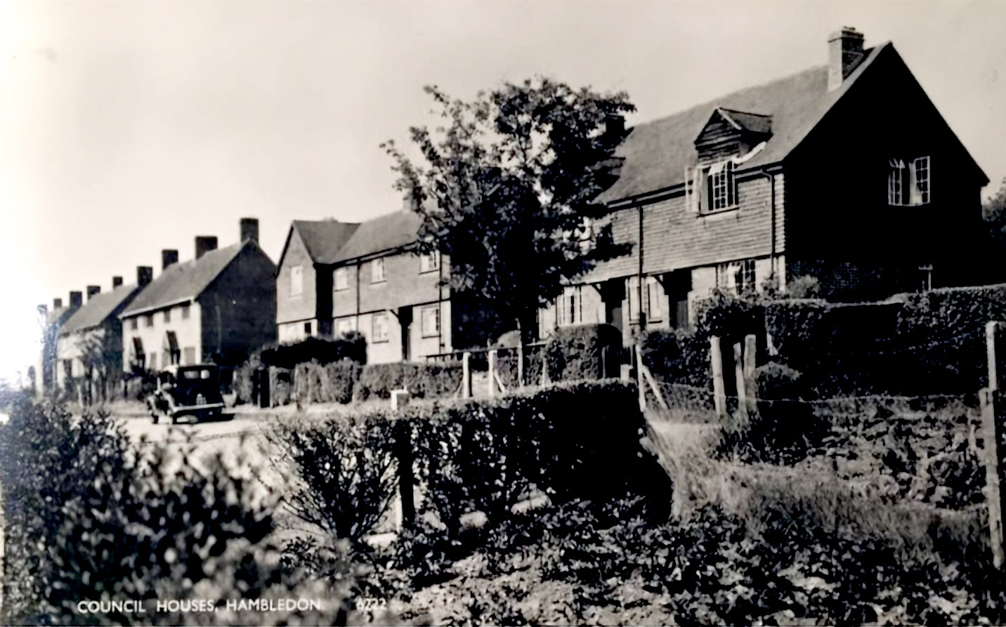
A view of the council houses at Stewarts Green, recording the development of twentieth-century housing along Green Lane.
Click image to enlarge
Historical Information
Stewarts Green within the twentieth-century development of Green Lane. The field visible in the July/August 1921 photograph from Headstone Copse would later provide the site for Stewarts Green. This photograph, dated c.1950, records the council housing that had subsequently been established there.
The development forms part of the changing pattern of settlement along Green Lane, where older cottages and historic buildings stand alongside twentieth-century housing. The Wayfarers Walk descends from Litheys Hanger and runs east through Stewarts Green to the churchyard and beyond.
The image provides a useful visual record of a significant change in the village landscape: land that was still an open field in 1921 had become part of the residential settlement by around 1950.